GIS and Drone Services
In order to better serve all of our clients, Anderson Consulting Engineers (ACE) has developed the specialized expertise required to provide a full range of services for digital mapping, GIS and drone services.

GIS Services
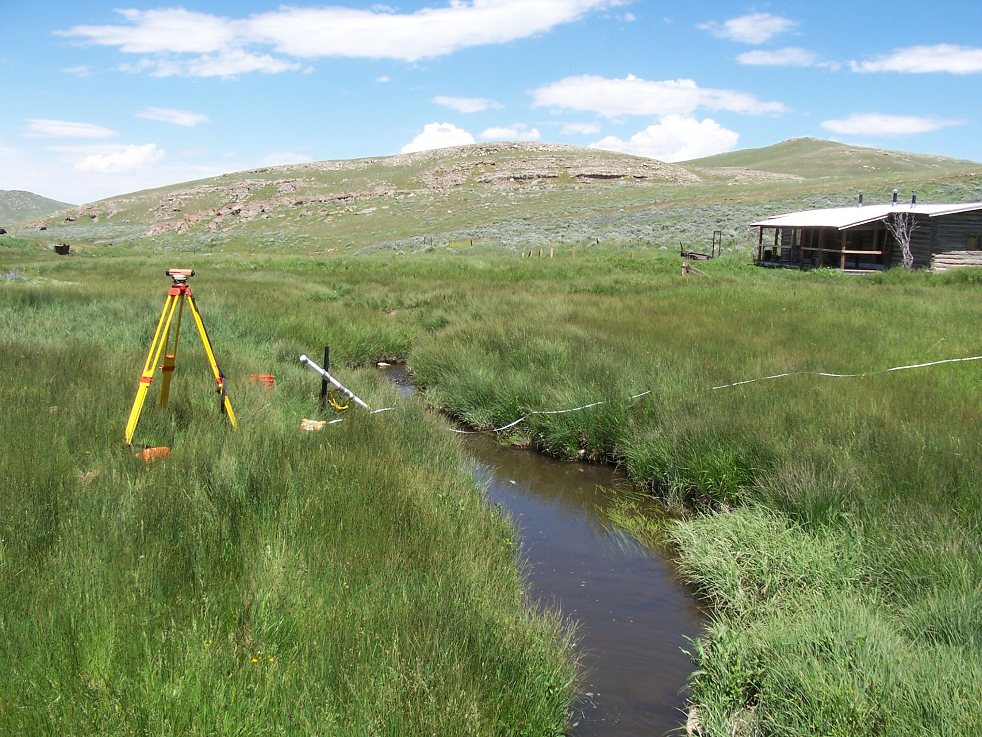
GIS and drone services at ACE has evolved from supporting engineering projects into GIS-centric projects often requiring large scale GPS field data collection, coupled with GIS development work. Many of ACE’s GIS projects focus on database products for DFIRM map production and maintenance under FEMA’s Map Modernization Program, now known as RiskMap.
This work has also involved the development of custom tools to automate the process. Additionally, ACE utilizes their GIS and GPS capabilities to perform work related to large scale watershed analysis projects, irrigation system inventory and analysis, and GPS field data collection focused projects that involve database development and system integration.
Geographic Information Systems services offered by ACE include:
- Quality cartographic design
- Geodatabase design and implementation
- Spatial data analysis, editing and management
- GIS/GPS field data collection and data integration


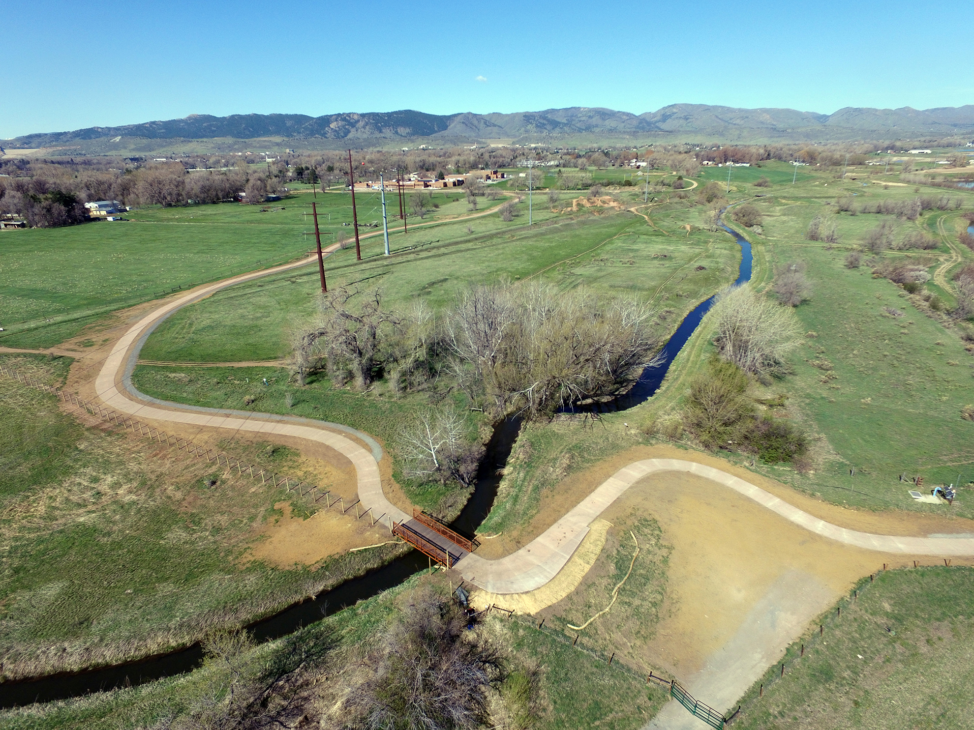
With an FAA Part 107 certified drone pilot on staff, ACE can provide a variety of drone aerial mapping and photography services in support of your current or upcoming projects. The advent of high-powered GPS based technology and digital data acquisition allows for the preparation of photogrammetry, photography, and videography that traditionally required expensive manned aircraft and crews in a smaller, less expensive and lightweight platform. Drones allow us to provide an overhead view of your project for aerial photography, digital terrain data and modeling, aerial surveys and more. Anderson utilizes the products created by the drone to not only support their own in office project work, but also combines these drone products with easily accessible and user-friendly applications that enable the quick and easy dissemination of the data. ACE and our clients are using these technologies to keep all stakeholders informed and updated on the status of projects. Such applications of this technology can include:
- Aerial surveys and mapping
- Aerial photography and videography
- Construction progress documentation
- 3d model generation for site analysis
- Infrastructure inspections
- Site reconnaissance for initial planning
- Disturbance Permit inspections and documentation
- Surface mining and quarry mapping and volumes
- Environmental and Wetland Documentation
- Tree height and condition surveys
Recently ACE was a prime engineering contractor on the now complete Poudre River Whitewater Park located in downtown Fort Collins. This multidisciplinary project spanned several years of dedicated effort and resulted in transforming the section of river located in the heart of downtown Fort Collins.
The primary goals of the project were flood mitigation, habitat improvement, and creating an enhanced recreation site for the community to enjoy. ACE used their drone to heavily document and monitor this high-profile project and disseminated the data in the form of project updates and public presentations. These updates and presentations were designed to inform clients and the public about the background and current progress of this very exciting and transformative project.
Ready to start a project?
Talk to our team of experts to get started today.
